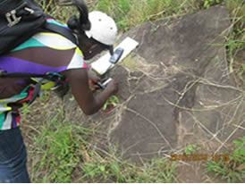
We produce, analyse and interpret geological maps, aerial photographs and do field mapping. We offer a complete range of geospatial data products captured using advanced satellite remote sensing techniques in terrestrial environments.
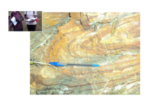
Geologist and Folded Shale formation mapped in Western Uganda
Illustration
 We have a Geoscience consulting team that has expertise in using high resolution stereo satellite imagery for creating various products such as DSM, DTM, 3D building models for different industry sectors. We also provide solutions by integrating multiple terrain datasets into one seamless elevation data set for different environment modelling applications.
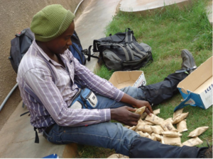
Geologist arranging samples after soil sampling